- Эзотерика
- Журналистские расследования. Публицистика
- Досуг. Развлечения
- История. Социология. Политика
- Кулинария. Ремесла
- Естественные и технические науки
- Культура. Искусство
- Экономика. Бизнес
- Биографии. Мемуары
- Психология
- Спорт
- Медицина
- Дизайн. Мода. Фотография
- Философия. Религия
- Педагогика. Воспитание
- Научная литература
- Музыка
- Артбуки. Вселенные
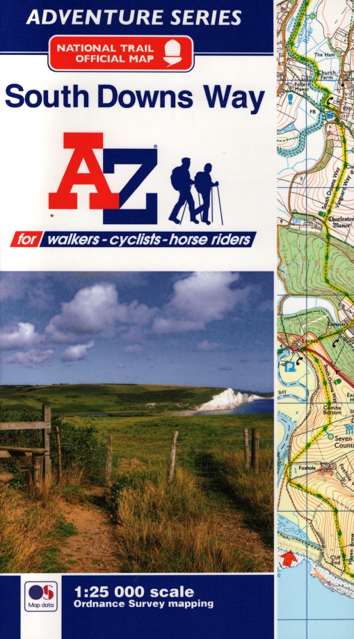
О книге: South Downs Way National Trail Official Map; Harpercollins, 2019
от 1653 р. до 3868 р.
- Издатель: Harpercollins
- ISBN: 9781782571674
- Книги: Туризм. Путешествия. Путеводители
- ID:12002787
О книге
| Параметр | Значение |
|---|---|
| Издатель | Harpercollins |
| Год издания | 2019 |
| ISBN | 9781782571674 |
| Обложка | мягкая обложка |
| Кол-во страниц | 60 |
| Жанр | книги о путешествиях |
| Издательство | HarperCollins |
| Количество книг | 1 |
| Количество страниц | 60 |
| Вес | 0.11 |
| Тип обложки | мягкая |
| Возрастное ограничение | 16+ |
| Автор(ы) | без автора |
Где купить (4)
Цена от 1653 р. до 3868 р. в 4 магазинах
| Магазин | Цена | Наличие |
|---|---|---|
Предложения банков
| Компания | Предложение |
|---|---|
Описание
The A-Z Adventure Series of maps combines the best of OS and A-Z, creating the perfect companion for walkers, off-road cyclists, horse riders and anyone wishing to explore the great outdoors.
The South Downs Way is a National Trail along the chalk escarpments and ridges of the South Downs. This undulating path begins in Winchester and finishes in Eastbourne covering 100 miles (160km) and lies completely within the South Downs National Park. The route on the map is clearly highlighted in yellow with mileage markers to gauge distances when planning sections of the walk to enjoy.
This official National Trail Map* of the South Downs Way features 44 pages of continuous Ordnance Survey 1:25000 mapping providing complete coverage of the South Downs Way. This atlas includes a route planner showing distances between places and the amenities available, featuring:
Campsites (seasonal opening)
Information Centres
Hotels/B&Bs
Youth Hostels
Public Houses
Shops
Restaurants
Cafes (seasonal opening)
Petrol Stations
Also featured is advice on safety and security when walking and a selection of QR codes linked to useful websites, including temporary route updates from the National Trails, regional information, map reading advice and weather reports.
Unlike the original OS sheets, this A-Z Adventure Atlas includes a comprehensive index to towns, villages, hamlets and locations, natural features, nature reserves, car parks and youth hostels, making it easy to find the required location quickly. Each index entry has a page reference and a six figure National Grid Reference. With a book size of 240mm x 134mm it is the same size as a standard folded OS map.
Other National Trails available within the A-Z Adventure series include: Cotswold Way, Hadrian's Wall Path, North Downs Way, Offa's Dyke Path, Pembrokeshire Coast Path, Pennine Way, SW Coast Path, Thames Path and The Ridgeway.

Смотри также о книге.
Отзывы (0)
Добавить отзыв
Книги: Нехудожественная литература на английском языке, Туризм. Путешествия. Путеводители - издательство "Harpercollins"
Категория 1322 р. - 1983 р.
Книги: Нехудожественная литература на английском языке, Туризм. Путешествия. Путеводители
Категория 1322 р. - 1983 р.